Kushinagar: Everything You Need to Know about The Lost Town
Lost Town. That’s what I used to call Kushinagar, my hometown and now a popular Buddhist pilgrimage site.
But why?
Nobody cared about this place for decades. And that’s strange when you consider it’s one of the most sacred sites in Buddhism, one of the world’s major religions. The wait was long, but Kushinagar has finally resurfaced on the map, thanks to the Kushinagar International Airport (ICAO: VEKI, IATA: KBK).
I wrote this article to give you everything you need to know about Kushinagar before visiting. Consider it your local’s guide to a place most travel blogs get wrong.
History of Kushinagar
The name shows up in ancient texts as Kusinara or Kushinara. The town sat between two small river streams called Kusi and Nara, likely tributaries of the Gandak river that still flows through here before meeting the Ganga.
Local folklore says this was the capital of King Kusha, son of Lord Rama. Hence, Kushinara.
Worth noting: the Ayodhya or Kosala kingdom once included both Kushinagar and Deoria. Kushinagar marked the eastern frontier. Ayodhya, King Rama’s capital, is just 150 kilometers from here.
Another theory for the name: a bush-plant called Kush grows everywhere in this region. You’ll see it if you visit.
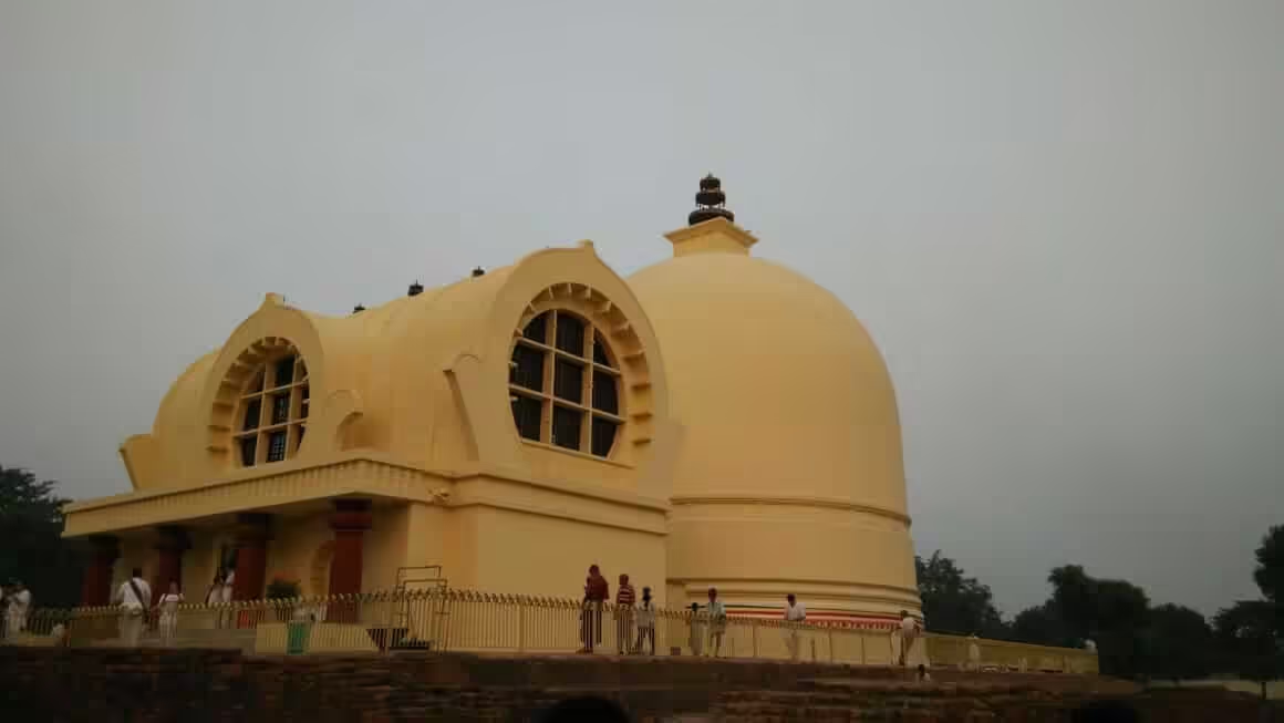
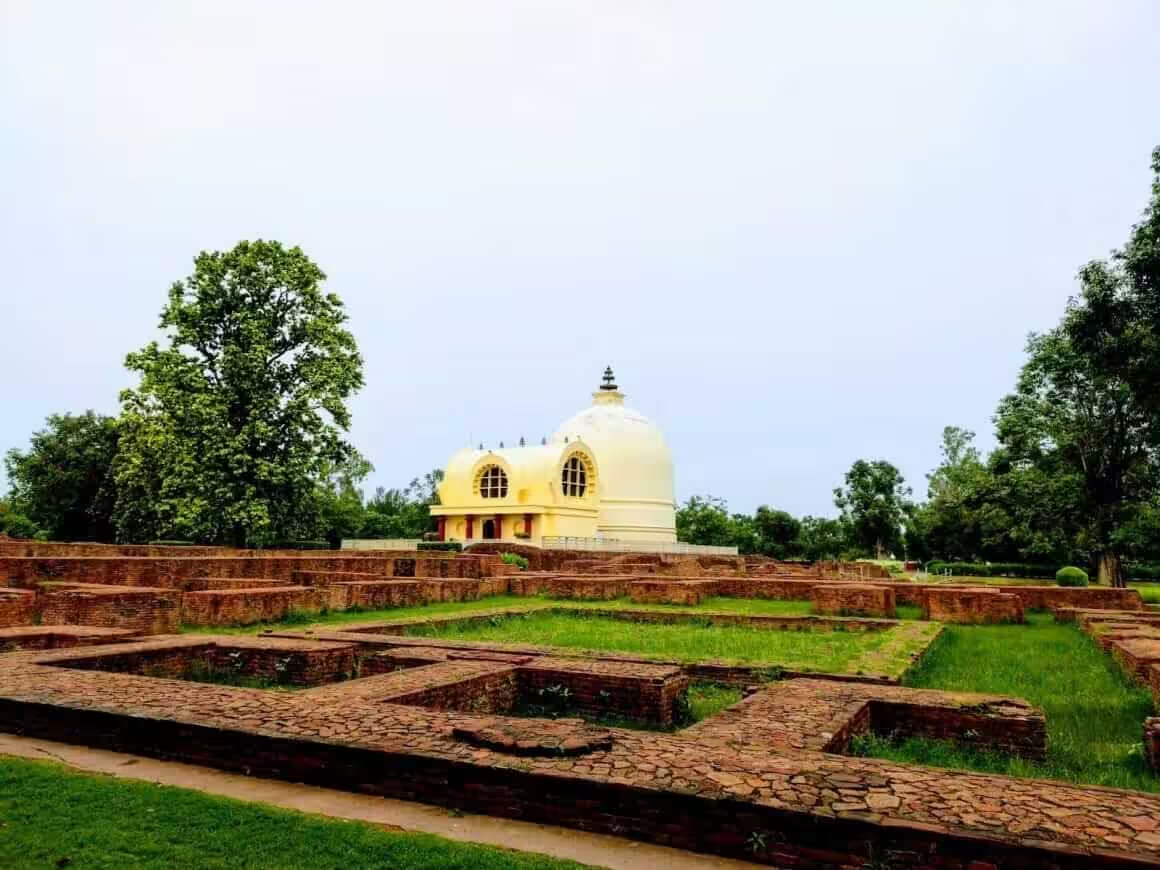
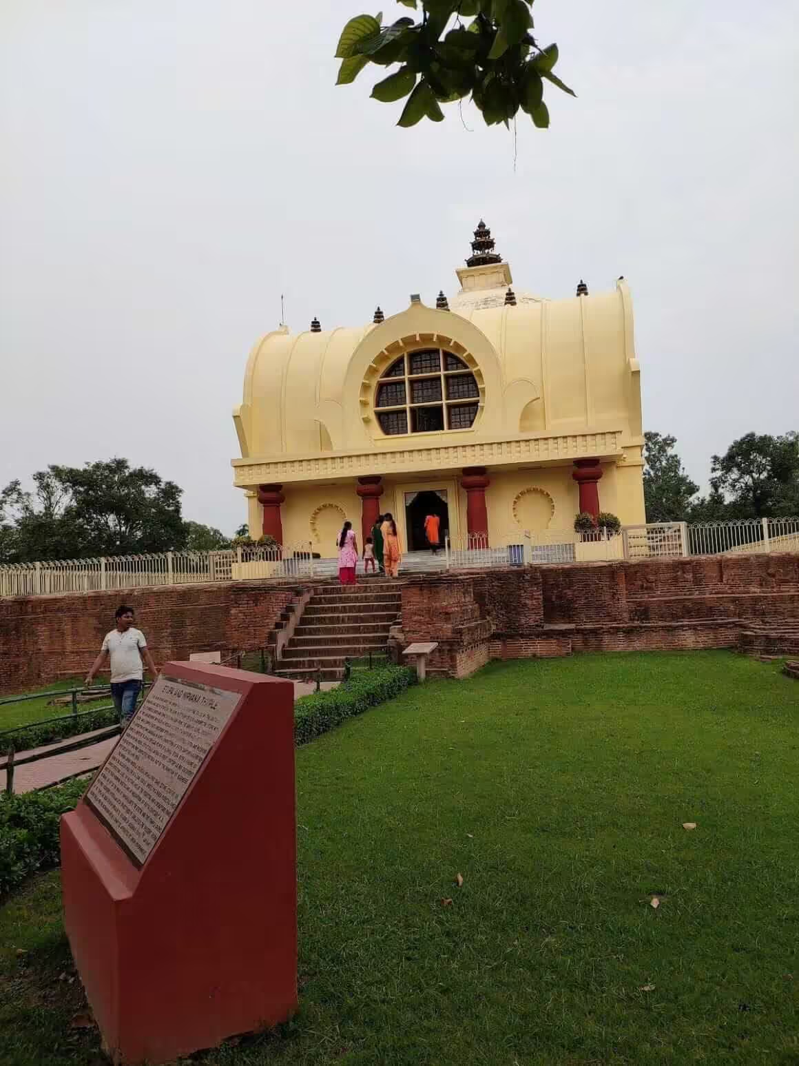
During Gautam Buddha’s time, Kushinagar served as the capital of the Malla kingdom, a republic and one of the 16 Mahajanapadas (great kingdoms) of the 6th century BCE. Gautam Buddha attained mahaparinirvana (his death) right here. The modern town is built around that very spot. Buddha also delivered his last sermon here. That’s why Buddhists from around the world come to visit.
Vardhaman Mahavira, the 24th Tirthankar and founder of Jainism, is said to have visited this area too. There’s a place called Pava about 23 kilometers east of Kushinagar. Some claim Mahavira died there, but the historical evidence doesn’t support it.
The Malla kingdom didn’t last. The Magadha kingdom absorbed it. Under King Ashoka, Kushinagar reached its peak. But after the Maurya dynasty collapsed, the place faded into obscurity.
From the 1st century BCE to the 19th century, Kushinagar passed through countless rulers, invasions, and disasters. I won’t pretend there’s much to celebrate. During the 13th and 14th centuries, various invaders looted the region, killed people, and destroyed legacies. The details are grim.
Kushinagar was part of Awadh suba (the local name for the Ayodhya region) during the Mughal empire and after. Incompetent rulers wasted the place. Then the British made things worse. They taxed the area brutally.
Heavy taxes. Famines. Plague. Floods. The combination broke this region completely.
This is why people here supported Mahatma Gandhi so fiercely when he visited Awadh. In some villages, Gandhiji is still worshipped.
Hinduism is the dominant religion here, followed by Islam and Buddhism.
I have to be honest about something uncomfortable. Casteism runs deep in this part of Uttar Pradesh. Lower-caste people are still treated poorly. Things have improved in the last 10-15 years, but the dark patches remain.
Kushinagar is both a district and a town. The town itself grew around Buddha’s mahaparinirvana site. The district covers much more.
Beyond Kushinagar town, the district includes Kasia, Kubersthan, Pavanagar (Fazil Nagar), Chaura, Tamkuhi, Hata, Sukrauli, Turkpatti, Mainpur, Padrauna, Ramkola, Kaptanganj, Samaur, and Hetimpur. The entire district has been sacred ground for Hindu, Jain, and Buddhist saints, monks, and ascetics for centuries.
Polity
Kushinagar sits in eastern Uttar Pradesh, bordering Bihar to the east and northeast. Maharajganj lies to the northwest, Gorakhpur to the west, and Deoria to the south.
As I mentioned, it was part of Ayodhya (Awadh). The British placed it in the Benaras division. After Indian independence, it became part of the Gorakhpur division, then part of the newly formed Deoria district. When Deoria was split in 1994, this area was named Padrauna. (Padrauna is another town just 19 kilometers from Kushinagar.) In 1997, it was renamed Kushinagar district. Padrauna remains the district headquarters.
Geography of Kushinagar
The district and town both fall in the terai belt of the Ganga Basin. The Gandak and Chhoti Gandak (Little Gandak) rivers feed the region. Gandak flows through the northern parts, then curves back through the southeastern parts. Chhoti Gandak runs through the western and central areas toward Deoria, forming the southern boundary with Deoria district.
Kushinagar town sits between two tributaries of Chhoti Gandak, once called Kushi and Nara. One is now called Hiranyavati. The other has basically disappeared.
Flooding is a fact of life here. The north and southeast areas are most vulnerable, but the whole district gets hit, whether from heavy rains or river overflow.
The soil is Bhabar Alluvial. Rice, wheat, sugarcane, and maize are the main crops.
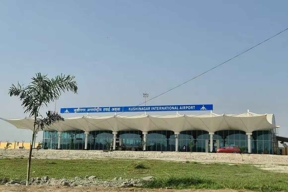
Kushinagar International Airport
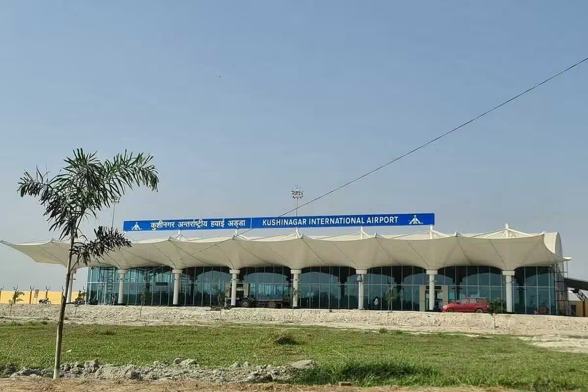
Prime Minister Narendra Modi inaugurated Kushinagar International Airport on 20th October 2021.
The UP Government first proposed an airport here in 1995, right when the district was carved out of Deoria. But actual work only started in 2010, and the original plan was modest: a domestic airport like Gorakhpur’s.
Gorakhpur Airport isn’t a regular commercial airport. The Indian Air Force leases it temporarily to the Airport Authority of India. Kushinagar was supposed to replace it for local flights within five years. And it will.
Government changes slowed everything down. By 2013, work had almost stopped. Then in 2015, new tenders went out. When a new state government came in, the demand shifted to an international airport. The upgrade was approved in 2019-20. What you see today is the result.
The airport sits on the outskirts of Kasia-Kushinagar municipality. From there, it’s about 4 kilometers to Lord Buddha’s resting place.
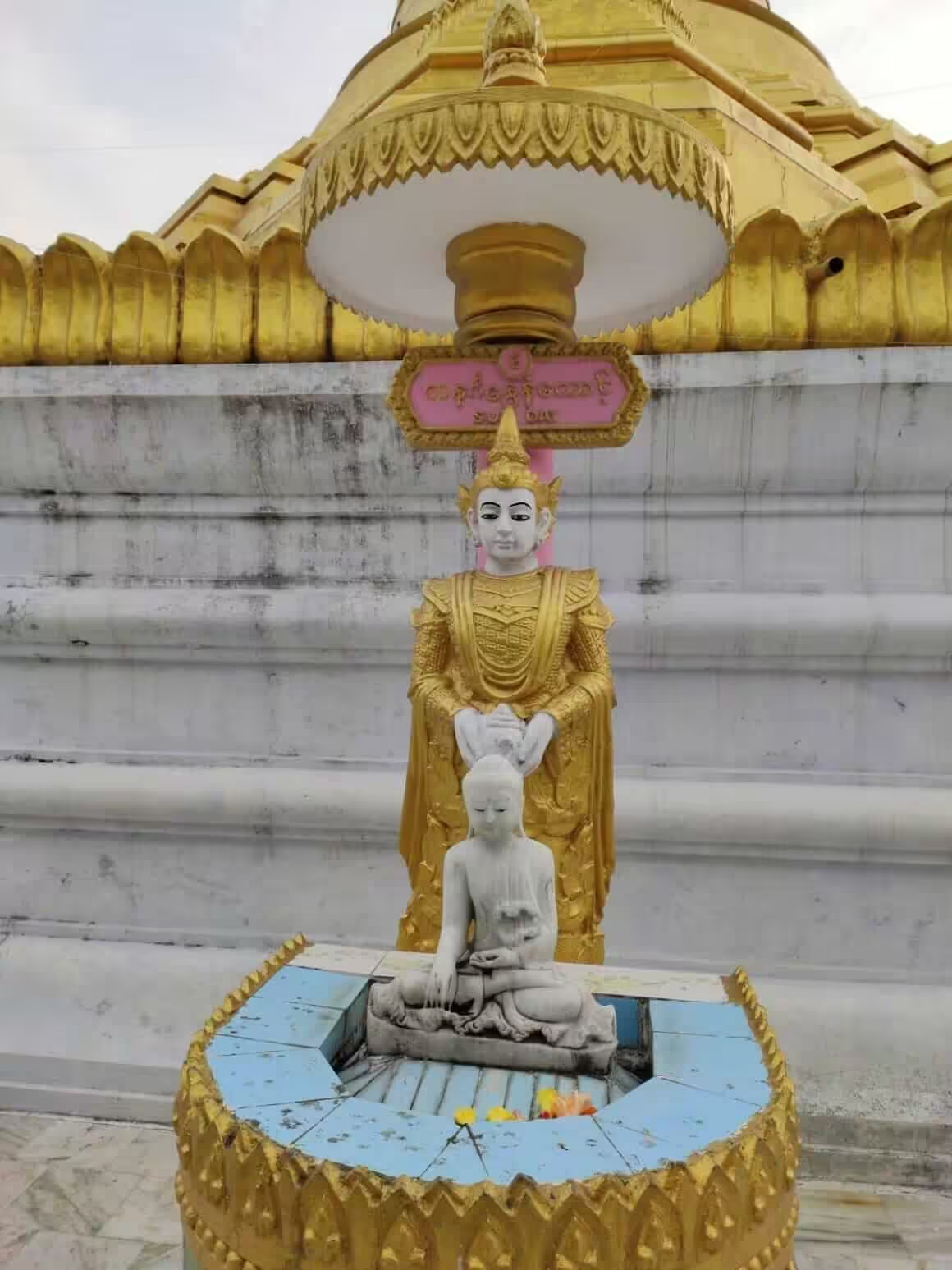
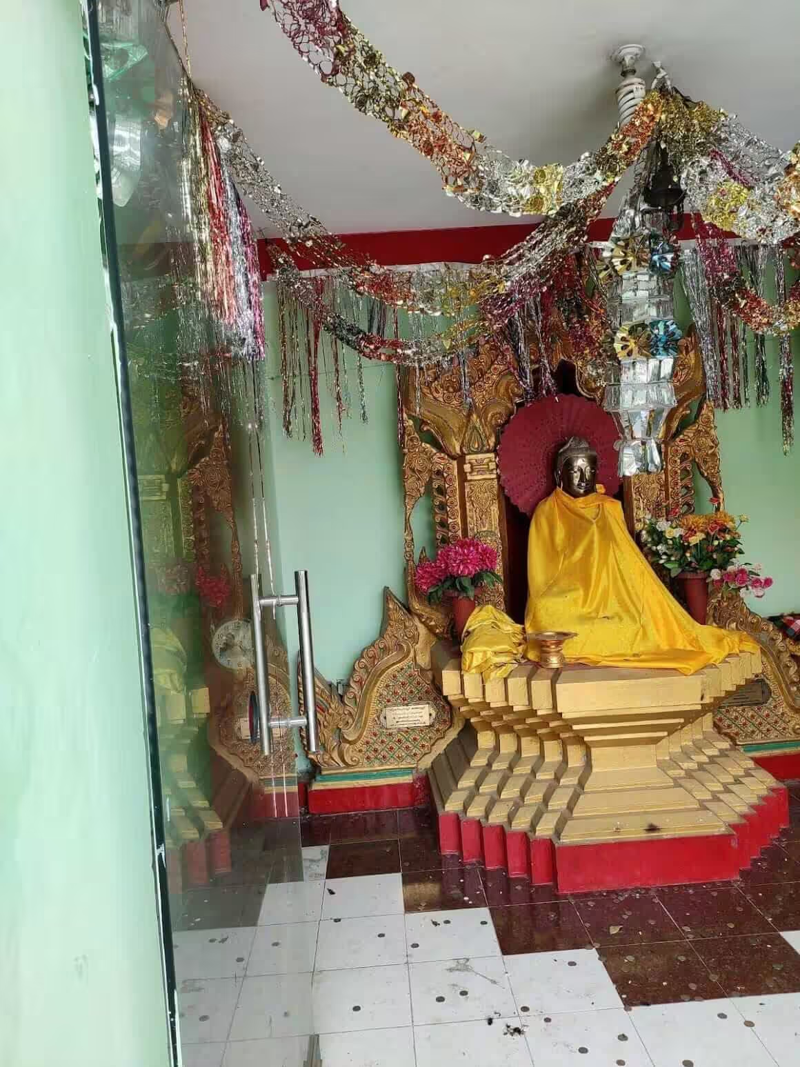
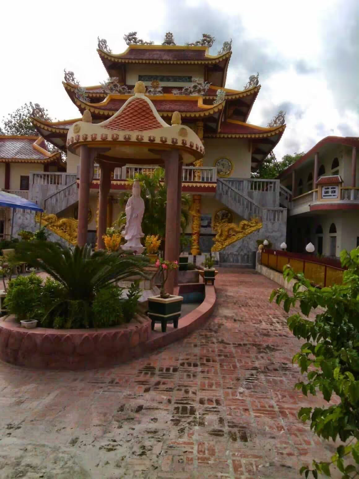
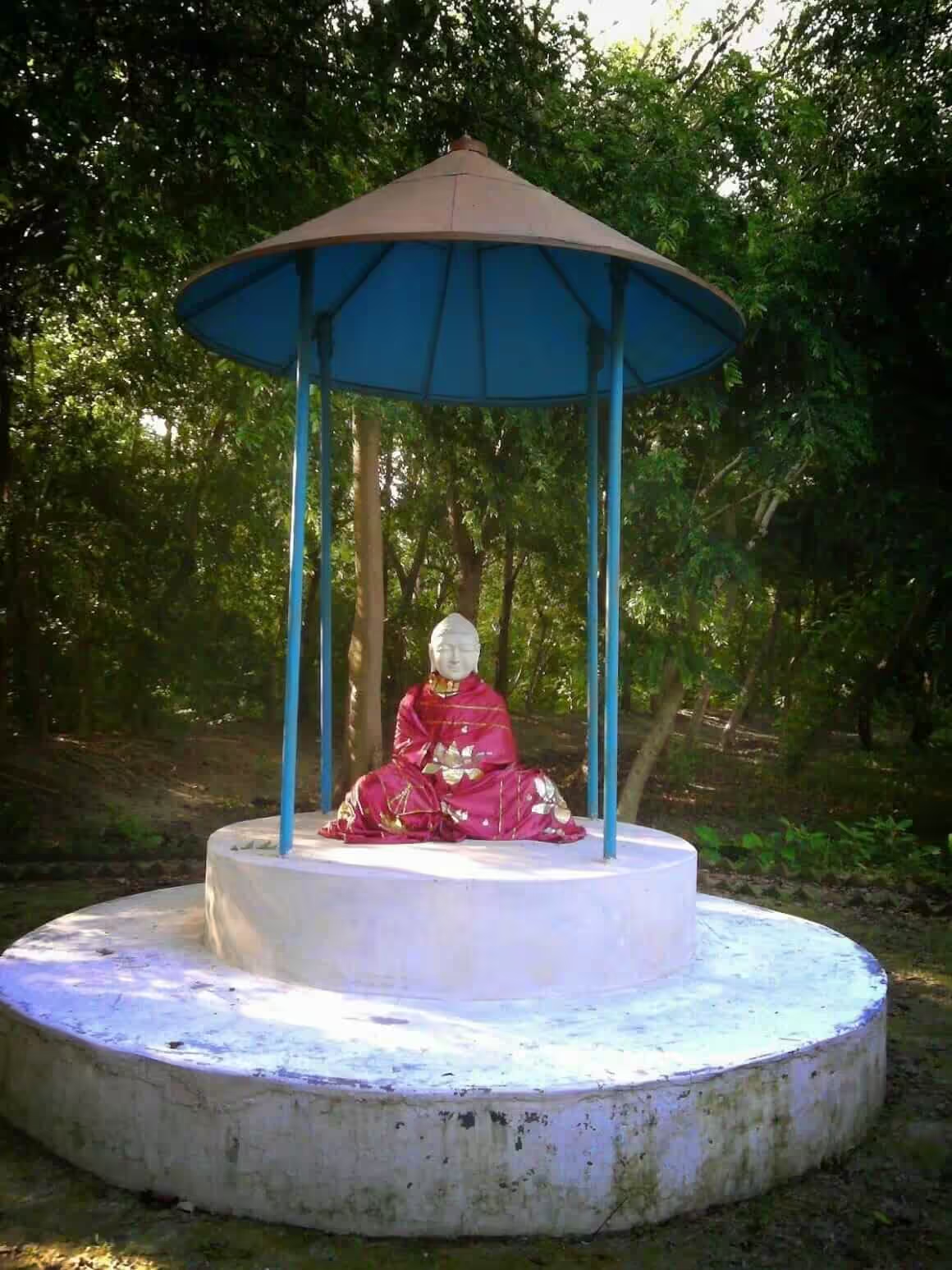
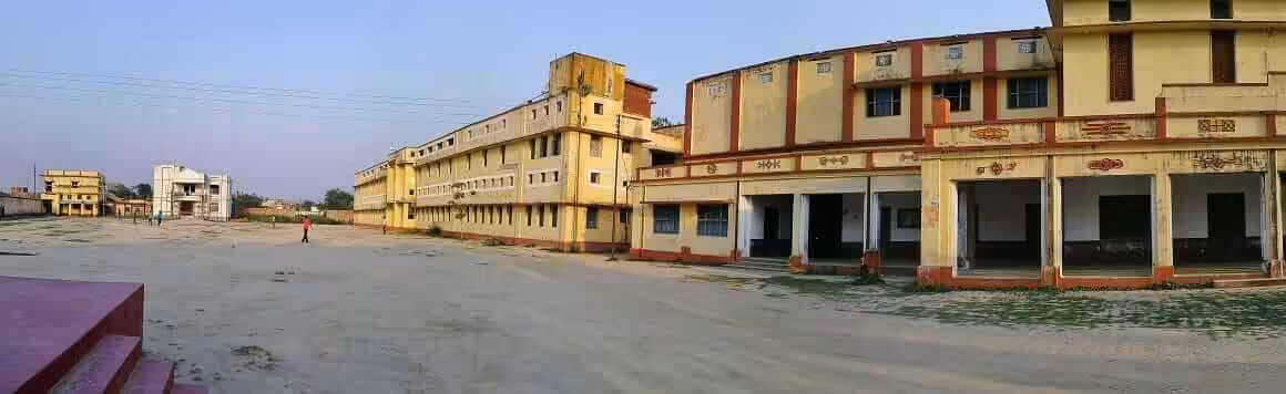
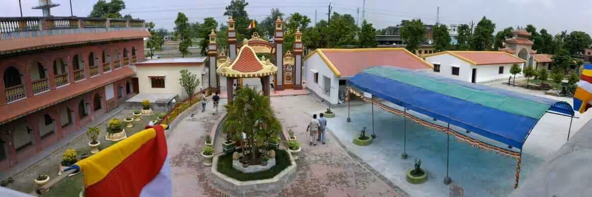
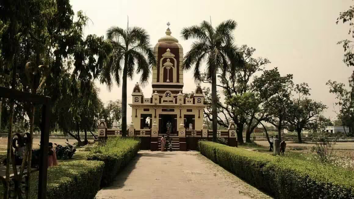
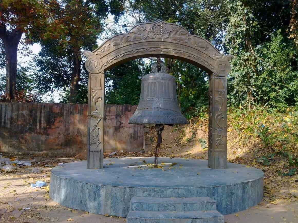
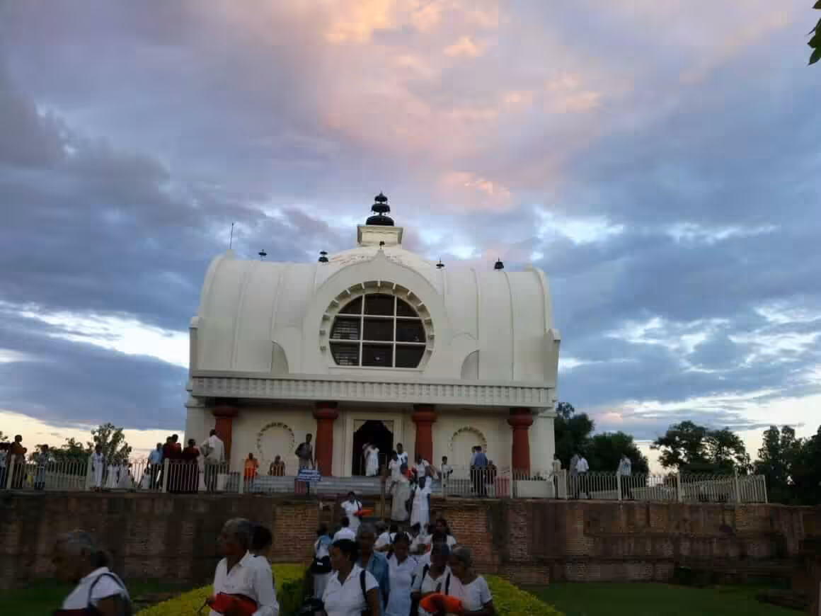
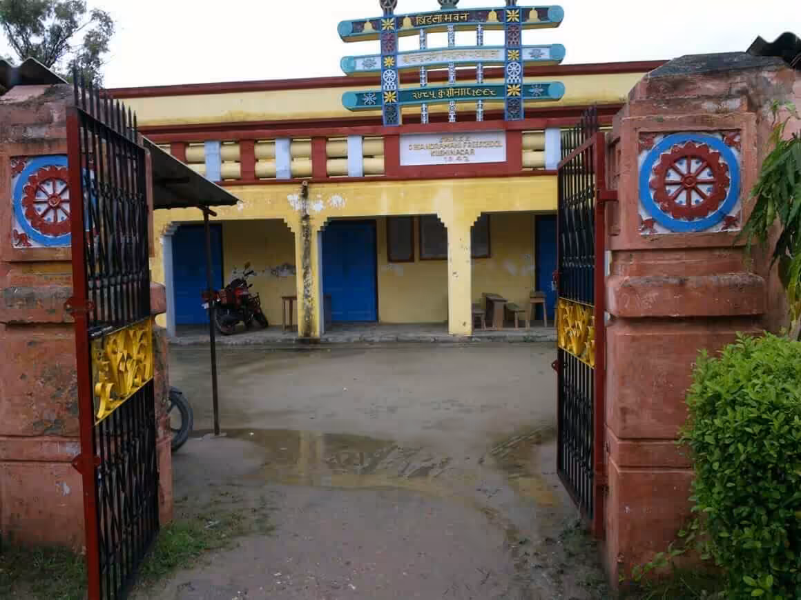
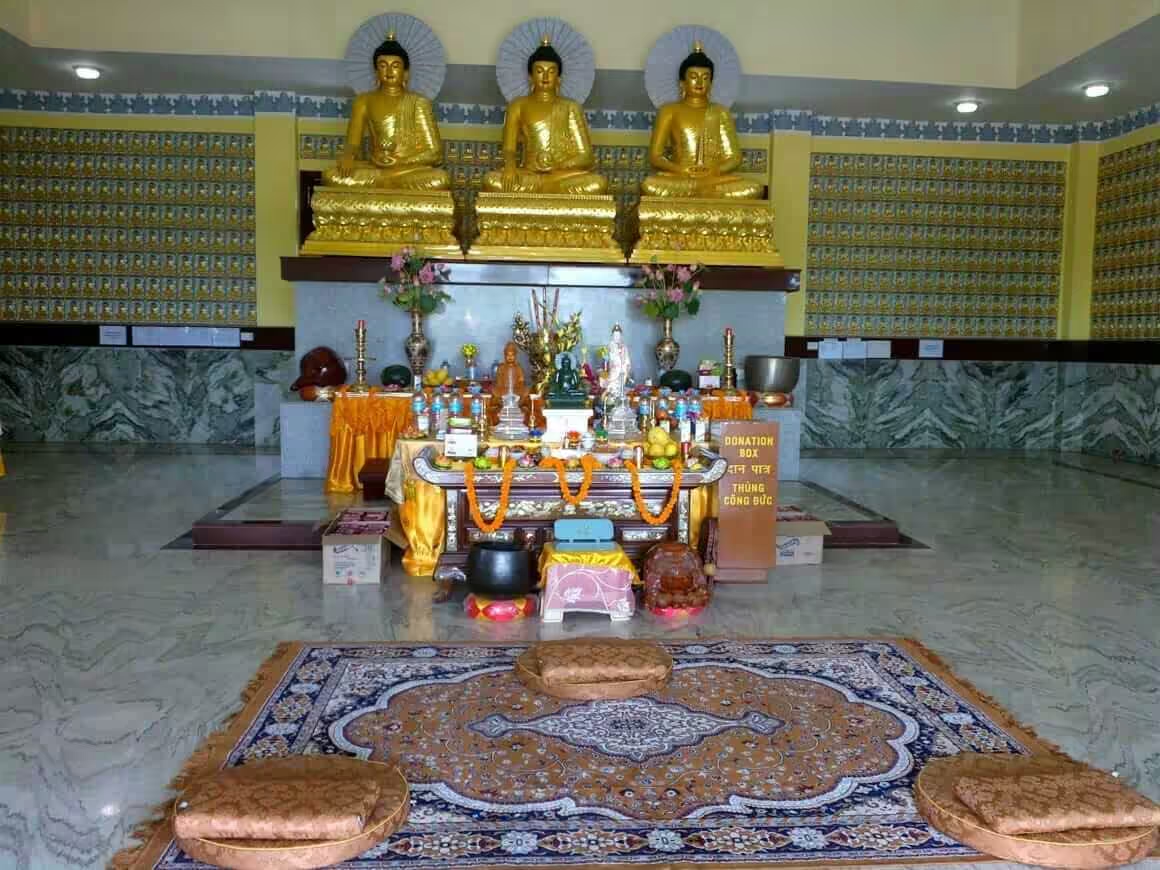
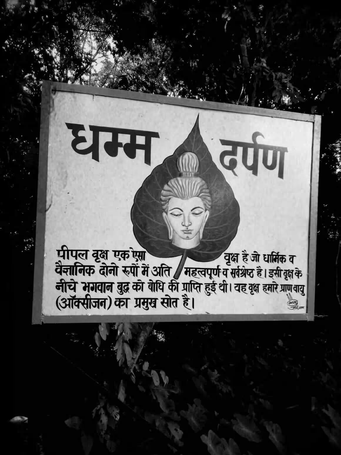
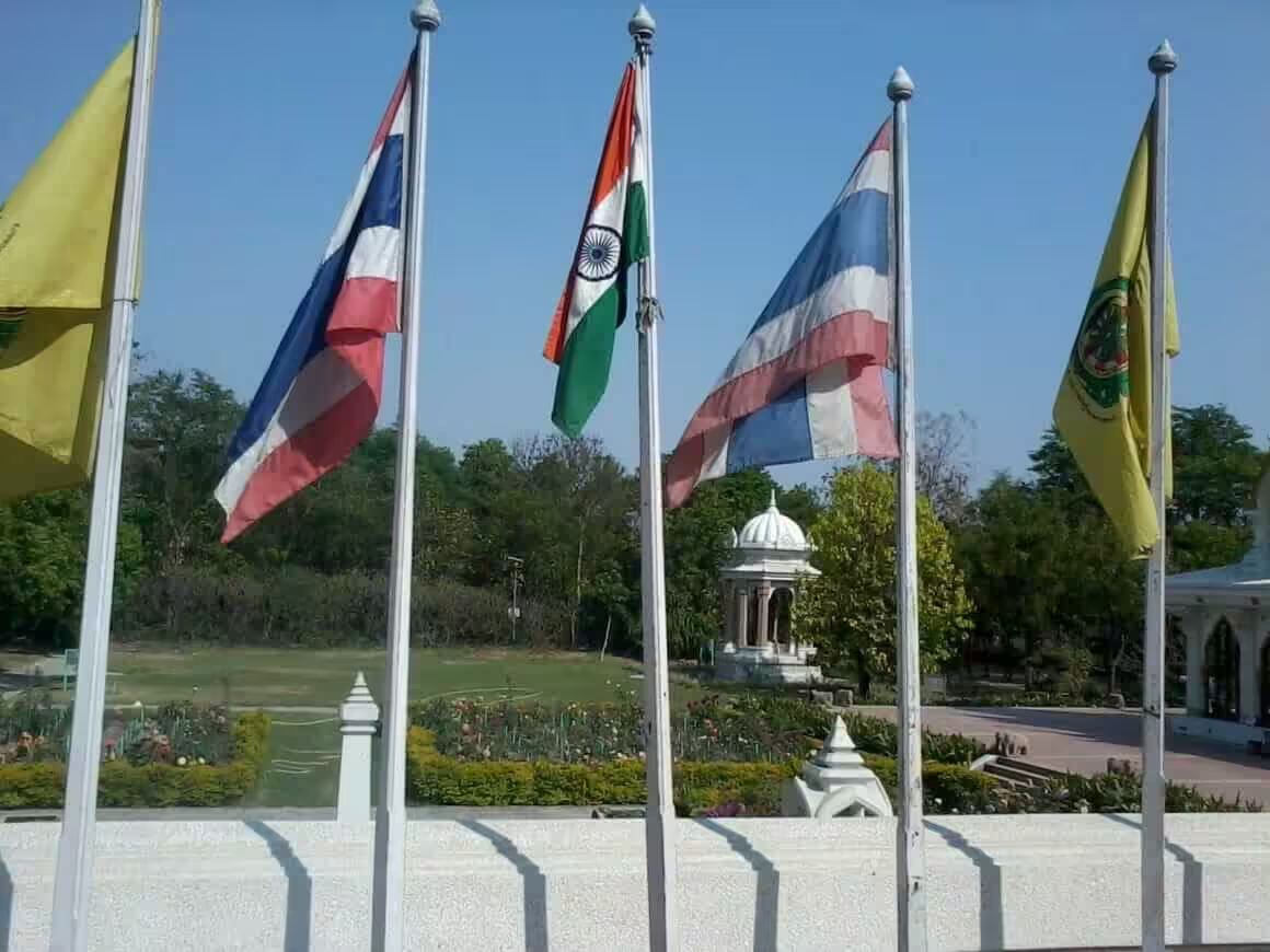
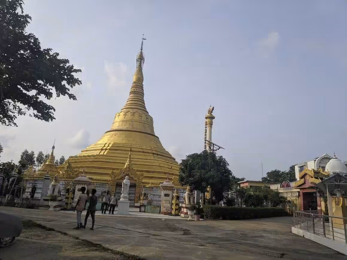
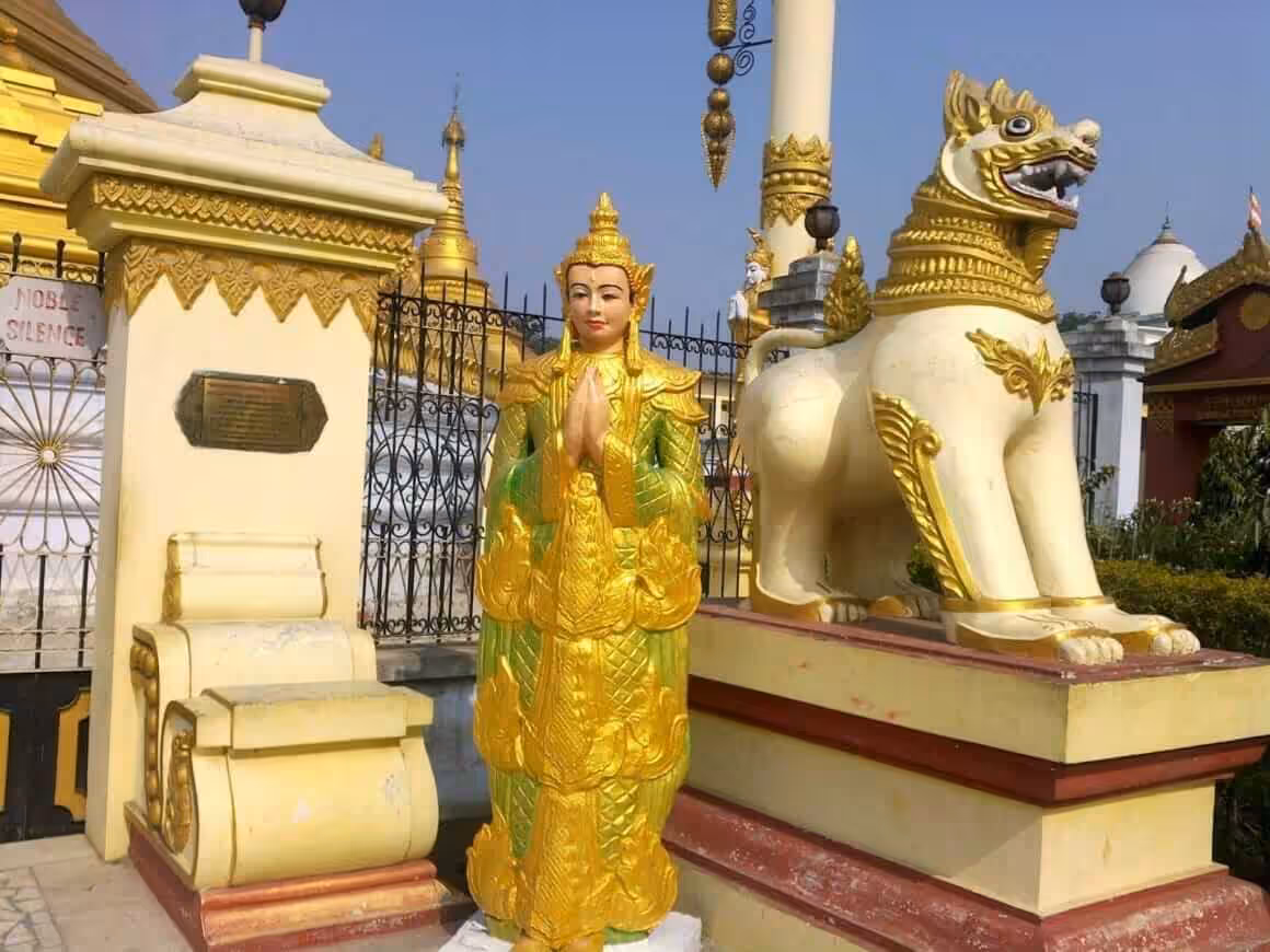
Kushinagar Photo Gallery
I’ll leave you with some photos from around Kushinagar.
FAQs
What is Kushinagar famous for?
Kushinagar is famous as the place where Gautam Buddha attained mahaparinirvana (his death) and delivered his last sermon. It’s one of the four major Buddhist pilgrimage sites in India, attracting Buddhists from around the world. The modern town is built around the exact spot where Buddha passed away in the 6th century BCE.
Where is Kushinagar located?
Kushinagar is located in the eastern part of Uttar Pradesh, India. It borders Bihar to the east and northeast, Maharajganj to the northwest, Gorakhpur to the west, and Deoria to the south. The district falls in the terai belt of the Ganga Basin.
How did Kushinagar get its name?
There are two popular theories. Local folklore says it was named after King Kusha, son of Lord Rama, who had his capital here. Another theory suggests the name comes from a bush-plant called Kush that grows everywhere in the region. The ancient name was Kusinara or Kushinara, derived from two small rivers called Kusi and Nara.
Does Kushinagar have an international airport?
Yes. Kushinagar International Airport (ICAO: VEKI, IATA: KBK) was inaugurated by Prime Minister Narendra Modi on 20th October 2021. The airport is located on the outskirts of Kasia-Kushinagar municipality, about 4 kilometers from Buddha’s resting place.
What is the religious significance of Kushinagar?
Kushinagar holds deep significance for Buddhism as Buddha’s mahaparinirvana site. It’s also associated with Jainism, as Vardhaman Mahavira reportedly visited the area. The entire district has been sacred ground for Hindu, Jain, and Buddhist saints and monks for centuries. Today, Hinduism is the dominant religion, followed by Islam and Buddhism.
What are the main rivers in Kushinagar?
Gandak and Chhoti Gandak (Little Gandak) are the two main rivers. Gandak flows through the northern and southeastern parts of the district. Chhoti Gandak runs through the western and central areas. Kushinagar town sits between two tributaries once called Kushi and Nara, one of which is now called Hiranyavati.
How far is Kushinagar from Ayodhya?
Kushinagar is approximately 150 kilometers from Ayodhya. Historically, both places were part of the same Kosala kingdom, with Kushinagar marking the eastern frontier and Ayodhya serving as the capital.
What crops are grown in Kushinagar?
Rice, wheat, sugarcane, and maize are the main crops grown in Kushinagar. The district has Bhabar Alluvial soil, which supports agriculture despite the region being prone to flooding from both heavy rains and river overflow.
What was Kushinagar called in ancient times?
In ancient texts, Kushinagar appears as Kusinara or Kushinara. It served as the capital of the Malla kingdom, one of the 16 Mahajanapadas (great kingdoms) during the 6th century BCE. The town reached its peak during King Ashoka’s reign but faded into obscurity after the Maurya dynasty collapsed.
What are the main towns in Kushinagar district?
Beyond Kushinagar town, the district includes Kasia, Kubersthan, Pavanagar (Fazil Nagar), Chaura, Tamkuhi, Hata, Sukrauli, Turkpatti, Mainpur, Padrauna, Ramkola, Kaptanganj, Samaur, and Hetimpur. Padrauna serves as the district headquarters and is located about 19 kilometers from Kushinagar town.